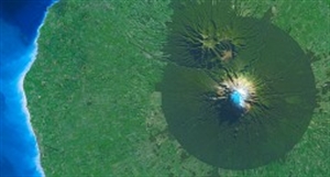
SPOTMaps products provide nationwide or regional seamless coverage, orthorectified, derived from colour imagery acquired by SPOT 5, 6 & 7.
Framed according to your area, SPOTMaps are the ideal geographic reference for your visualization, mapping and planning needs.
SPOTMaps now comprise two products, at resolutions of 2.5 (SPOT 5) and 1.5 metres (SPOT 6/7):
- SPOTMaps 2.5, available over more than 110 countries, representing a total of more than 95 million km².
- SPOTMaps 1.5 which is now taking over to provide users with higher resolution.
SPOTMaps give you a synoptic picture of a territory as well as thelocal level of detail you need for more precise analysis.
SPOTMaps provide the visual product and basemap you need to:
- View an entire territory
- Simulate siting of new infrastructures
- Perform impact studies
- Produce or update zoning plans and maps
- Share information with your partners


